
Minnesota will face both severe thunderstorms and a winter storm watch on Friday, with temperatures soaring into the 70s before a rapid change to wintry weather occurs. Severe thunderstorms are likely in southern regions, while winter storm watches predict blizzard conditions with significant snowfall and high winds in western Minnesota.
On Friday, a winter storm and severe thunderstorm watch will be in effect across parts of Minnesota, bringing forth unpredictable weather including rain, thunder, high winds, and snow. Record warmth is expected, with temperatures reaching the 70s, particularly in southern Minnesota. The storm is anticipated to evolve from warm and moist conditions to more wintry weather as it progresses through Friday evening and into Saturday.
Thunderstorms are forecasted to develop, crossing from Iowa into southern Minnesota around 6 p.m. to 7 p.m. A prime window for thunder and light rain in the Twin Cities is expected between 8 p.m. and 10 p.m. As the storm approaches from the west, the possibility of severe weather will heighten in southern Minnesota, though storms may weaken over more stable air near the Twin Cities.
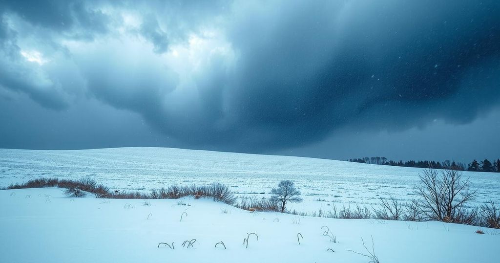
The National Weather Service has issued winter storm watches for western Minnesota, forecasting near-blizzard conditions late Friday through Saturday morning. Accumulations of snow are predicted to be between 1 and 6 inches, with potential ice accumulations ranging from 0.01 to 0.1 inches. Wind gusts may reach 60 mph, especially in northwestern Minnesota, where conditions may become treacherous.
Details regarding various locations in the winter storm watch include cities such as Fargo, Moorhead, and Fergus Falls, with expected snow totals of 1 to 8 inches depending on locality. In addition to western Minnesota, the region encompassing areas like Morris and Alexandria is also under a winter storm watch. The forecast indicates ice accumulations and strong winds leading to possible travel hazards due to low visibility and whiteout conditions.
Conversely, eastern Minnesota is expected to experience much milder weather with little snow, as colder temperatures will dominate the outlook for the weekend. A drastic temperature drop to the 20s and 30s is evident, clear of the unseasonably warm weather expected in the rest of the state on Friday.
In summary, Minnesota is set to experience a variety of weather phenomena this Friday, including both severe thunderstorms and a winter storm. With record warmth preceding the storm, residents can expect a quick transition to wintry conditions. Winter storm watches have been issued for several areas, signaling potential risks such as blizzard conditions, heavy snowfall, and significant winds that may pose travel difficulties over the weekend.
Original Source: www.mprnews.org


