
A 7.6 magnitude earthquake struck the Caribbean Sea near the Cayman Islands, resulting in temporary tsunami alerts that were subsequently canceled. Social media circulated unverified underwater footage claiming to show the event. Tsunamis are typically caused by significant underwater disturbances, which can devastate coastal regions.
On Saturday evening, a 7.6 magnitude earthquake struck the Caribbean Sea near the Cayman Islands, prompting temporary tsunami alerts for surrounding regions. The earthquake occurred at 6:23 p.m. local time and was recorded at a depth of 10 kilometers, with the epicenter located approximately 130 miles southwest of George Town.
Following the quake, initial warnings were issued for Puerto Rico, the U.S. Virgin Islands, Cuba, and certain Central American regions. Residents in low-lying areas were advised to seek higher ground. However, after monitoring the situation, officials declared that any potential sea level disturbances would be minor.
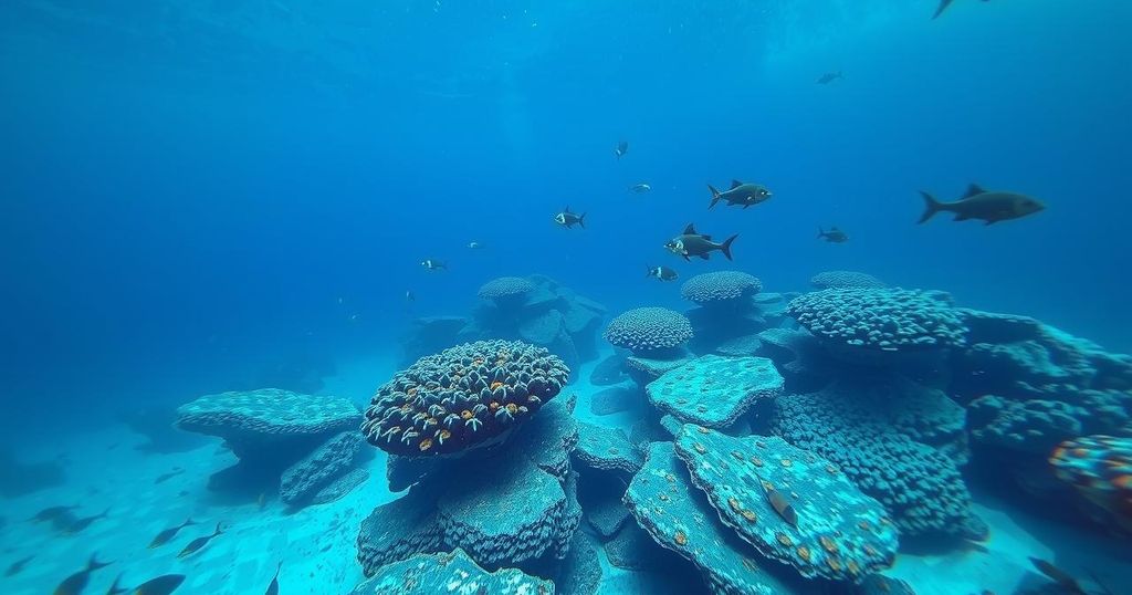
Social media buzzed with claims of underwater footage capturing the tsunami in real-time. The widely circulated videos purportedly showcase seabed disturbances and marine life reacting to the seismic events. Unfortunately, these claims remain unverified by authoritative entities like the US Geological Survey (USGS) or the National Oceanic and Atmospheric Administration (NOAA).
Investigations revealed that many of the disturbing videos were not contemporary; they stemmed from earlier events, with one identified as filmed by divers in the Banda Sea, Indonesia, in 2023. This has raised concerns about misinformation circulating online.
Tsunamis typically result from violent underwater earthquakes that displace significant volumes of water. Other factors, such as underwater volcanic eruptions or meteorite impacts, may also generate tsunamis. These waves travel across ocean basins at high speeds and can increase in height as they approach shallower coastal waters, causing severe destruction.
Seismic monitoring systems detect the underwater quakes, reading both ground and water displacements. Such systems are crucial in providing early warnings and ensuring public safety in coastal regions susceptible to tsunami threats.
On March 2, 2024, a significant earthquake occurred near the Cayman Islands, leading to widespread concern and response efforts. Tsunamis are powerful natural disasters often linked to underwater seismic activity, capable of causing severe damage to coastal areas. Understanding their causes and the mechanisms of seismic waves is vital in mitigating the risks associated with such events.
In summary, the recent 7.6 magnitude earthquake south of the Cayman Islands raised immediate tsunami alerts, but these were later lifted. While social media speculated about underwater video evidence of the event, most circulating footage lacked verification, and many were identified as older recordings. Understanding the nature and causes of tsunamis remains essential for public safety in coastal regions.
Original Source: www.soapcentral.com


