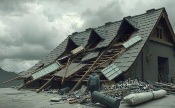
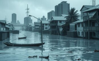
Cyclone Dikeledi, captured by the Copernicus Sentinel-3 mission on 16 January, caused significant destruction in southeastern Africa after developing from a tropical storm. The cyclone’s impact extended across Madagascar, Mozambique, and nearby islands, complicating post-disaster recovery efforts. Satellite observations are crucial for real-time data on storm dynamics and forecasting.
The Copernicus Sentinel-3 mission captured images of Cyclone Dikeledi on 16 January, shortly after it made landfall in southeastern Africa, causing extensive damage across several nations and islands. Originating as a tropical storm between Indonesia and Australia, Dikeledi intensified into a cyclone when it struck northern Madagascar on 11 January. The cyclone subsequently affected Mozambique, Comoros, and Mayotte, further complicating recovery efforts in territories already impacted by Cyclone Chido in December.
The Copernicus Sentinel-3 satellite provides critical observational data, which highlights large-scale events such as Cyclone Dikeledi. The cyclone’s width is approximately 500 kilometers, while its eye measures around 25 kilometers across. The satellite’s Ocean and Land Colour Instrument facilitated this observation, illustrating the cyclone’s movement away from the Mozambique Channel while approaching the southern coast of Madagascar, which is visible in the image’s top left corner.
Tropical cyclones typically form over warm ocean waters. Those developing in the northern hemisphere are designated as hurricanes or typhoons, whereas the term cyclone applies to those forming in the southern hemisphere. The real-time data supplied by the Sentinel-3 mission is crucial for monitoring oceanic and atmospheric conditions, thereby aiding weather forecasting and disaster response efforts.
Cyclone Dikeledi exemplifies the impact of tropical cyclones on regions of the world, particularly those surrounding warm waters. Originating from the Indian Ocean, such storms demonstrate intensifying patterns that often lead to severe consequences once they reach land. With advancements in satellite technology, missions like Copernicus Sentinel-3 provide invaluable insights into storm behavior and movements, which are fundamental for disaster management and preparedness.
Cyclone Dikeledi, observed by the Copernicus Sentinel-3 mission, highlights the destructive capacity of tropical storms in southeastern Africa. Its journey from a tropical storm to a fully developed cyclone underscores the importance of monitoring these systems using satellite data. Continuous observation and data collection are essential to mitigate the impacts of such natural disasters in vulnerable regions.
Original Source: www.esa.int