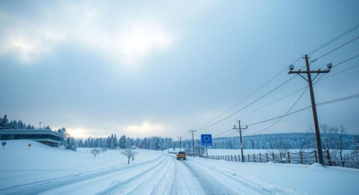
A winter storm set to hit Baltimore and Washington on January 5, 2025, may bring over six inches of snow, ending a three-year dry spell. Initial heavy snow is expected to begin between midnight and 4 AM, followed by a brief lull and then a second surge of snow in the evening. The entire state of Maryland is under winter storm warnings for this event, with significant impacts on travel and daily routines anticipated.
On Sunday night, January 5, 2025, a significant winter storm is expected to impact the metro areas of Baltimore and Washington, marking a notable shift as it will likely bring more than six inches of snow, ending a prolonged dry period for the region. The storm system is anticipated to have a classic coma shape, indicative of powerful weather dynamics, resulting in heavy snowfall, potential thunder snow, and blizzard conditions.
Forecast adjustments indicate that southern areas are likely to receive higher snowfall totals, as the European Model suggests. Conversely, northern areas will experience reduced totals due to influence from dry, cold air from New England. The storm is categorized as a Miller B type, indicating it will be forming a new low-pressure system as it progresses towards the coast. Snowfall is forecasted to begin late Sunday night, with expectations of initial heavy precipitation reaching potentially one inch per hour in the morning before a brief lull occurs later in the day.
Following the lull, a second surge of snow is anticipated as the coastal system re-energizes, providing additional snow accumulation by late afternoon and evening. Furthermore, a warning has been issued for winter storm conditions, marking a rare occurrence where the entire state of Maryland is under such advisement. Post-storm conditions are expected to result in sub-zero wind chills the following morning, particularly with the fresh snowpack observed.
In summary, the following timeline indicates that substantial snow accumulation will occur overnight into Monday, with various areas of the region seeing different totals, influenced heavily by geographic factors and air conditions.
Overall, weather authorities reiterate the importance of preparedness as winter conditions can significantly impact travel and daily activities.
In conclusion, the expectation of significant snowfall from this storm presents a major weather event for the Mid-Atlantic region, particularly for Baltimore and Washington. However, variations in snow totals across different geographic areas of Maryland and Pennsylvania underscore the complexity of forecasting winter storms. Stakeholders, including transportation officials and residents, are advised to monitor conditions closely and prepare adequately for potentially hazardous winter weather.
The article discusses an impending winter storm expected to affect the Mid-Atlantic region, specifically targeting Baltimore and Washington. It elaborates on the dynamics of the storm, types of snowfall, geographical impacts, and regional weather patterns influencing snowfall totals. It also addresses the rarity of a winter storm warning across the entire state of Maryland and provides insights into the storm’s classification and potential impacts on daily life and travel in the affected areas.
The anticipated winter storm promises to deliver much-needed snowfall to Maryland and surrounding areas after a sustained dry spell. With a clear timeline for snow accumulation and conditions detailed, residents and officials are encouraged to stay informed and ready for possible disruptions. The dynamic nature of this weather event illustrates the complexities involved in forecasting and preparing for winter weather.
Original Source: justinweather.com


