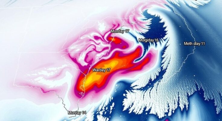
Virginia is set to face a major winter storm late Sunday to Monday, bringing snow, sleet, and freezing rain. Winter storm watches are in effect, likely to escalate to warnings. Accumulations and impacts will vary based on the storm’s track, with hazardous conditions expected on untreated surfaces.
A significant winter storm is set to affect Virginia from late Sunday through Monday. Winter storm watches have already been issued for central and northern Virginia, with expectations that these may soon elevate to winter weather advisories or winter storm warnings. Initial snowfall is anticipated to begin on Sunday evening, though the first few hours may see some evaporative loss due to existing dry air. By mid to late evening, snow should reach the ground and continue through midnight.
As a warmer air mass infiltrates the area, snowfall is expected to mix with sleet, leading to accumulations through Sunday night into Monday morning. This warming trend will further introduce freezing rain, which occurs when rain freezes upon contact with cold surfaces. As temperatures rise Monday, areas further south are likely to experience a transition to plain rain while northern regions will still see a wintry mix.
The storm’s movement toward the east late Monday will usher in colder air, potentially transforming precipitation back into snowfall. Actual snowfall totals will be contingent upon the storm’s exact track, which remains located in the western and central United States at this time. A minor shift in the storm track could drastically alter precipitation types across various regions. Observations indicate that snow and sleet will accumulate through Sunday evening and night, with freezing rain potentially washing away some initial snow, but also creating hazardous icy conditions on untreated surfaces.
Temperatures are expected to surpass freezing in the metropolitan area and to the south on Monday, although further snowfall may reoccur later in the day. Following the storm, untreated surfaces will likely remain icy, leading to continued caution in the upcoming days. The rest of the week is expected to be dry; however, daytime temperatures will hardly rise above freezing, contributing to a thaw/freeze cycle as snow and ice melt during the day and refreeze overnight. Ongoing updates will be made available on our weather page.
This winter storm is characterized by a series of meteorological events leading to varying types of precipitation, including snow, sleet, and freezing rain. The interaction of cold air and warmer atmospheric conditions creates complex scenarios where weather can shift rapidly. Understanding these dynamics is crucial for anticipating changes in weather patterns, particularly in winter months when conditions can lead to hazardous roadways and travel interruptions. The impact of such a storm can span multiple regions, emphasizing the need for timely updates and preparedness.
In summary, Virginia is bracing for a major winter storm impacting the region from late Sunday through Monday, with significant snowfall, sleet, and potentially hazardous freezing rain. The storm’s trajectory will determine the extent and type of precipitation experienced in various areas of the state. Following this event, ongoing icy conditions will persist, necessitating caution in travel and outdoor activities.
Original Source: www.wtvr.com


