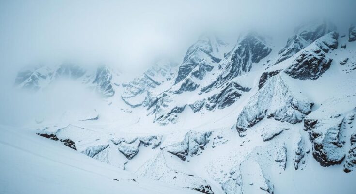
Montana is set to experience a strong winter storm bringing heavy snowfall to mountainous areas, with Winter Storm Warnings issued. Accumulations of 4 to 20 inches are expected in the mountains, while lower elevations could see 1 to 4 inches of snow. Temperatures will remain mild before colder air moves in, particularly affecting central and eastern regions as the storm progresses into the new year.
A vigorous storm system is expected to blanket Montana with substantial snowfall, particularly in the mountainous regions. Winter Storm Warnings and Advisories are in effect for various areas over the weekend, forecasting snowfall totalling between 4 and 20 inches in the mountains. Great Falls, Bozeman, and Lewistown are also included in the advisories, with anticipated accumulations ranging from 1 to 4 inches. While snowfall is expected primarily in the west, valley regions may experience drizzle or a mix of rain and snow through Sunday and Monday.
Additionally, temperatures across Montana currently reside in the 30s and 40s, with a slight dip anticipated as colder air moves into central and eastern parts of the state. The low temperatures tonight will range from the 20s to lower 30s, whereas the highs on the following day are projected to stay within the same range. As we approach New Year’s Day, temperatures may fall further, particularly in central and eastern Montana, with potential highs in the 10s to 30s.
In summary, Montana is poised to experience significant winter weather due to an incoming storm, highlighting the need for caution in mountainous and low-elevation regions alike. The storm is sure to bring much-needed precipitation, particularly in the form of snow in the mountains, with colder temperatures following closely behind.
The forecast of a strong winter storm system in Montana arises from a combination of atmospheric conditions conducive to heavy snowfall in the mountainous regions. Such systems are essential for replenishing snowpack, which is critical for water supplies and the local ecosystem. Winter Storm Warnings and Advisories indicate the severity of the impending weather, with specific attention paid to elevation-related conditions that could affect travel and safety in the region. Monitoring the situation is important as the storm progresses over the weekend into the new year, with implications on temperatures and potential impacts on daily activities. These weather patterns are typical for this time of year as colder air masses interact with moisture-laden systems.
The anticipated winter storm in Montana is expected to deliver significant snowfall in the mountains, while lower elevations may experience mixed precipitation. This event will usher in colder temperatures following the storm, particularly affecting central and eastern regions. Overall, the storm is a reminder of the dynamic weather patterns typical for the season and highlights the importance of preparedness and awareness regarding local weather conditions that may impact travel and outdoor activities.
Original Source: www.kulr8.com


