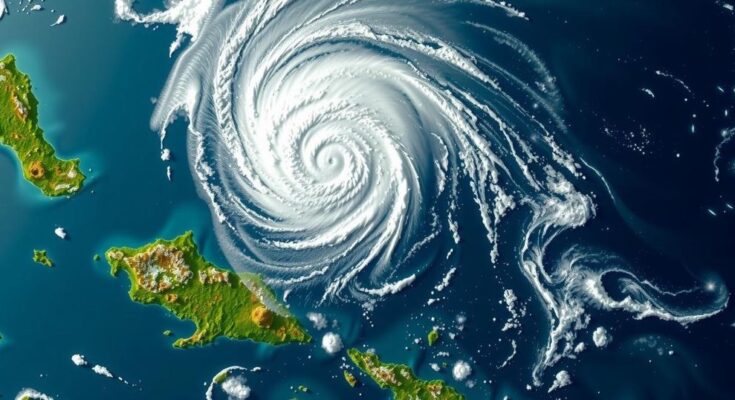
Tropical Cyclone Bheki approached Mauritius and Réunion on November 21, 2024, generating moderate rains and winds of 74 km/h. While some potential for strengthening exists, forecasts indicate a weakening trend. Bheki, the second named storm of the season, significantly impacted local weather patterns, compelling considerations for preparedness in the region.
Tropical Cyclone “Bheki” made its close passage to the islands of Mauritius and Réunion on November 21, 2024, bringing with it moderate rainfall and sustained winds reaching 74 km/h (46 mph). Although the system exhibited characteristics typical of tropical storms, its development potential was hindered by limited warm air depth below 700 hPa and marginal sea surface temperatures of approximately 26 °C (78.8 °F). Furthermore, the influence of strong westerly upper-level winds complicated its trajectory.
As of 09:00 UTC on November 22, Cyclone Bheki had stalled southwest of La Réunion due to terrain effects but was projected to commence movement in a southwest direction, expected to gain speed as it shifted west of the Mascarene High pressure system. Satellite imagery indicated the resurgence of convective activity near the storm’s center, which might foster some development, as suggested by numerical weather models forecasting a potential increase in wind speeds over the next few hours.
However, forecasts predict that as the jet stream recedes and drier air infiltrates the environment, Cyclone Bheki may weaken to below 65 km/h (40 mph) within 24 hours. Predictions for its intensity differ, with some model simulations indicating an initial strengthening before a rapid decrease in cyclone intensity. Moderate rainfall is anticipated for both Mauritius through November 22 and Réunion between November 22 and 25, marking Bheki as the second named storm of the current South-West Indian Ocean cyclone season.
Bheki initially formed on November 14 and displayed rapid intensification, achieving peak intensity as an Intense Tropical Cyclone on November 18, setting records within the basin for its wind speeds and central pressure metrics.
This article discusses the development and trajectory of Tropical Cyclone Bheki, highlighting meteorological observations and forecasts relevant to its impact on the islands of Mauritius and Réunion. Understanding the cyclone’s characteristics, such as wind speeds, sea surface temperatures, and atmospheric conditions, is crucial in assessing its potential effects. The article underscores the significance of accurate weather modeling and monitoring in predicting cyclone behavior, given its previous record-setting status in November 2024.
In summary, Tropical Cyclone Bheki’s passage near Mauritius and Réunion reveals essential insights into tropical storm dynamics and behavior. While the cyclone displayed some potential for strengthening, its influence is tempered by adverse atmospheric conditions. Continued rainfall is expected in both regions, with forecasts varying on the cyclone’s future intensity. Cyclone Bheki’s formation and development underscore the importance of preparedness in the face of erratic tropical weather patterns.
Original Source: watchers.news


