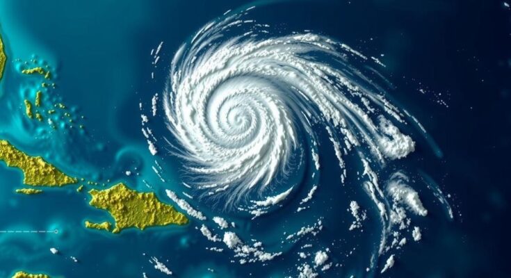
Potential Tropical Cyclone #19 is forming and expected to become Tropical Storm Sara, with significant rainfall and flooding risks for Central America. Maximum sustained winds are about 30 mph, and the system may become stationary, exacerbating flood threats. Monitoring its potential Gulf impact is crucial. Hurricane and tropical storm watches have been issued for parts of Honduras and Nicaragua.
On Wednesday evening, updates regarding Potential Tropical Cyclone 19 indicated its formation and the anticipated impact it may have on Central America and potentially the Gulf of Mexico. The cyclone is expected to strengthen into a tropical storm, likely named Sara, producing significant rainfall and posing a serious threat of flooding and mudslides throughout central regions of America, particularly northern Honduras, where rainfall may reach up to 30 inches. Currently, the system exhibits maximum sustained winds of approximately 30 mph, with higher gusts likely. It is expected to remain nearly stationary over the weekend, which raises concerns for life-threatening flooding and mudslides in Central America. Furthermore, hurricane conditions may develop within the watch area by Friday, with tropical storm conditions anticipated by late Thursday. A corresponding storm surge is also possible, with water levels rising significantly along Honduras’ northern coast. Meteorologists are closely monitoring the storm’s trajectory as various atmospheric factors, including an approaching front and low-pressure trough, will influence its path in the coming days. It is too early to determine what specific impact the storm may have on locations such as Southwest Florida but citizens are advised to stay informed while remaining patient as the situation evolves.
The ongoing developments surrounding Potential Tropical Cyclone #19 mark an important point in meteorological observations in the Caribbean. Understanding the nature of tropical cyclones is crucial, particularly in regions prone to intense weather systems. The formation of such cyclones involves several atmospheric elements, and their paths can be complex, affecting states and countries far beyond their initial formation location. This article serves to inform readers of the immediate dangers posed by such weather systems, specifically focusing on the predicted rainfall and wind scenarios expected in Central America over the weekend.
In summary, Potential Tropical Cyclone #19 has officially formed and is expected to strengthen, posing serious threats to Central America due to excessive rainfall and potential flooding. While forecasts regarding its impact on the Gulf are uncertain, the need for vigilance is paramount as various atmospheric factors continue to evolve. Residents in affected areas are urged to heed warnings and prepare for possible hazardous conditions in the coming days.
Original Source: www.fox4now.com


